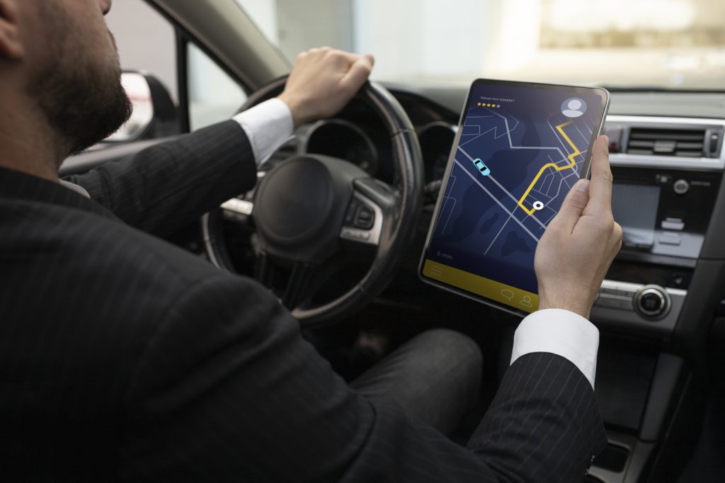
Access street-level imagery and map data from all over the world. Fill in the gaps by capturing coverage yourself.
Map services (Make better maps)
Any phone camera, anywhere
Capture imagery with any kind of camera to put places on the map through a collaborative street-level view of the world.

Edit maps with a new point of view
Update maps with details that are not visible from aerial images, using street-level imagery from anywhere you need it.
Collaboration always wins
Open up data to help everyone make better decisions about cities and roads, mobility and navigation, and autonomous driving.
Element not found in
Start accessing imagery and map data
Our platform that makes street-level images and map data available to scale and automate mapping. We’re committed to building a global service for everyone


